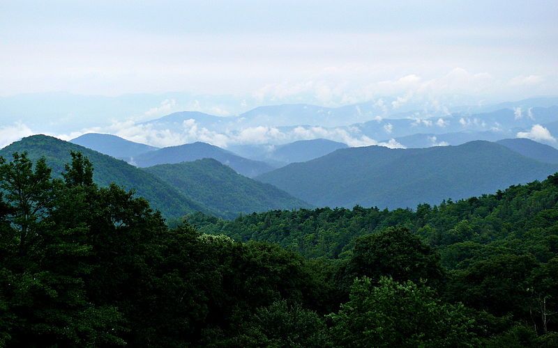
Appalachia is a vast geographic and cultural region in the eastern United States, defined by the 2,000+ mile mountain range running through it. Containing some of the most beautiful wilderness east of the Mississippi, the region is currently divided by nearly a dozen states with just one having a majority of its population in Appalachia thanks to the historical pattern of settlement and transportation realities in the early history of the United States. I wanted to see what impact redrawing the borders by creating one superstate consisting of all the culturally Appalachian regions of those states would have on the new superstate as well as the remaining surrounding states in terms of their political and demographic make up. This diary, part one of a two part series, will examine the politics past and present of the Appalachian region itself if it were its own state while part two will take a deeper look at the changes its creation would have on the neighboring states including their congressional and downballot elections.
A quick summary of presidential elections in the region shows that Appalachia would have been a swingy state from about 1960-1996 when it was relatively close to the national result, but since then has swung hard to the right. Mitt Romney beat Obama in Appalachia by roughly 24%, in part thanks to many conservative Democrats who would have propelled Hillary Clinton to a 32 point win over President Obama in the 2008 presidential primary. The net result however, is that every surrounding state becomes more Democratic, some significantly so. Follow me over the fold to see maps, stats, and more.